At Collin County Drone Services (CCDroneLLC), we pride ourselves on staying at the forefront of the 2026 aerial intelligence landscape. By integrating the latest high-end drones and sensors—including LiDAR and radiometric thermal cameras—we ensure that our clients receive the most precise, actionable deliverables in the industry.
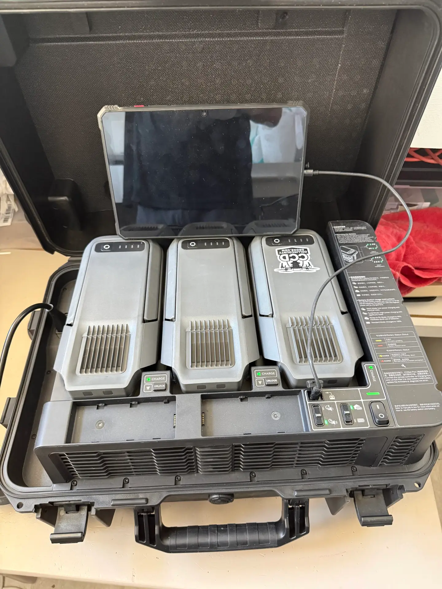
Our proprietary workflow is designed for maximum efficiency and data integrity. We combine autonomous flight planning with edge computing to accelerate the transition from “flight to finish,” providing:
Survey-Grade Data: High-quality outputs that meet and exceed industry standards for centimeter-level accuracy.
Fast Turnaround Times: Streamlined processing to ensure your project stays on schedule.
Actionable Insights: Data formatted for immediate use in CAD, GIS, and BIM software
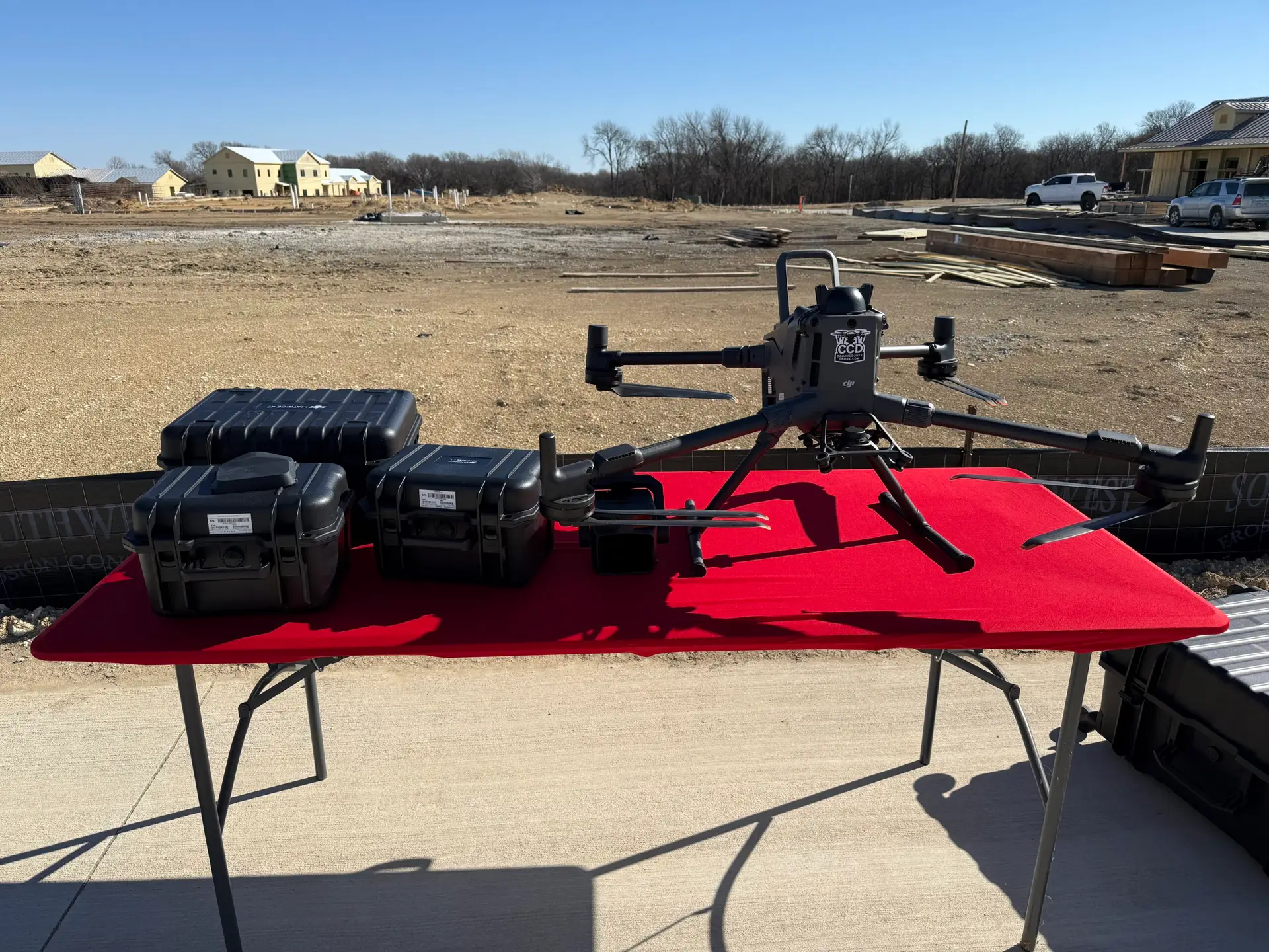
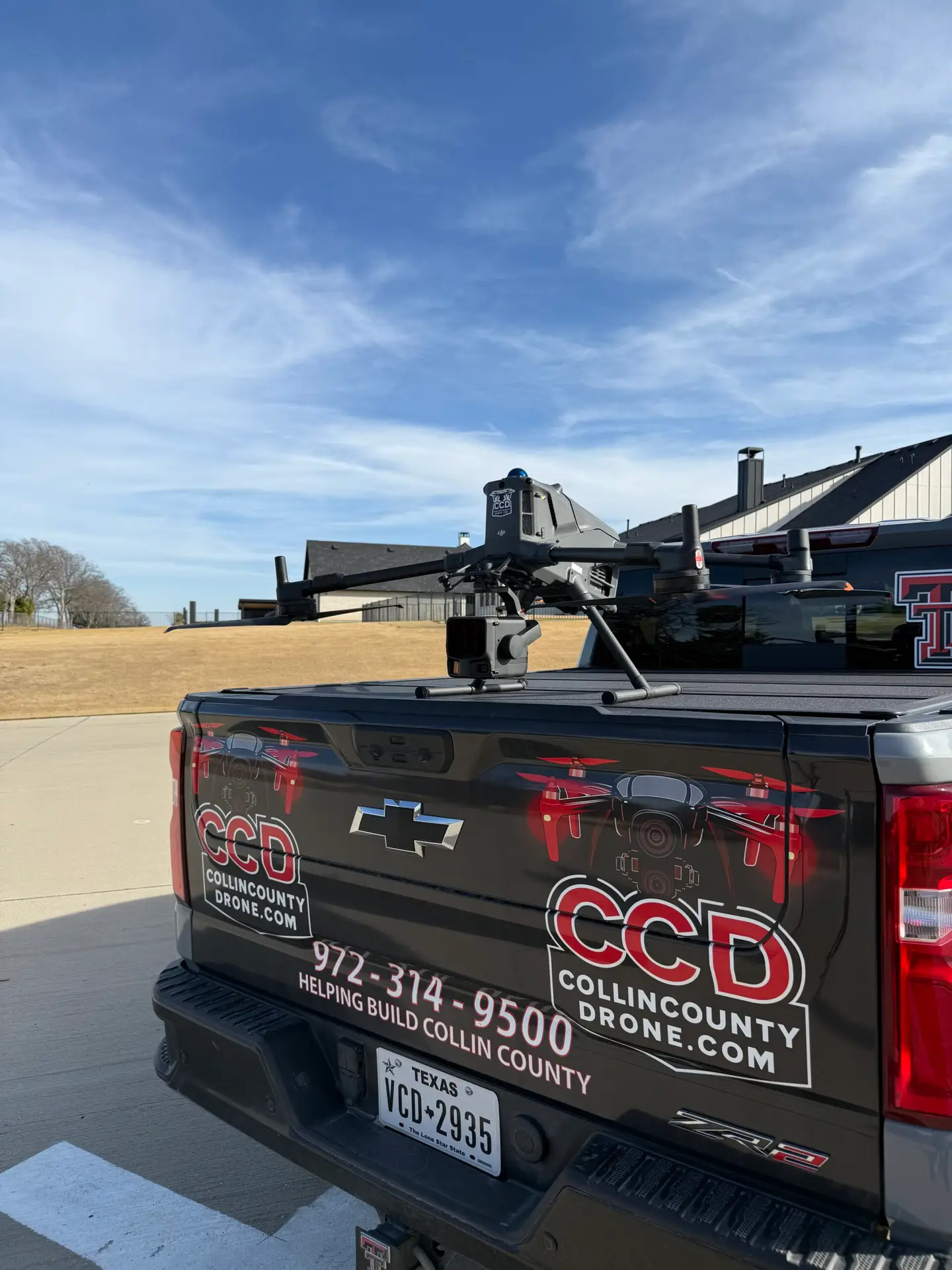
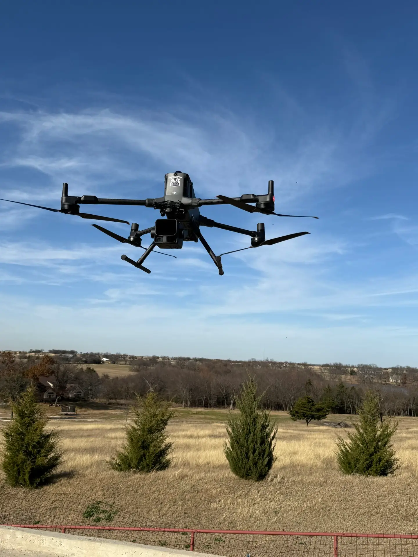
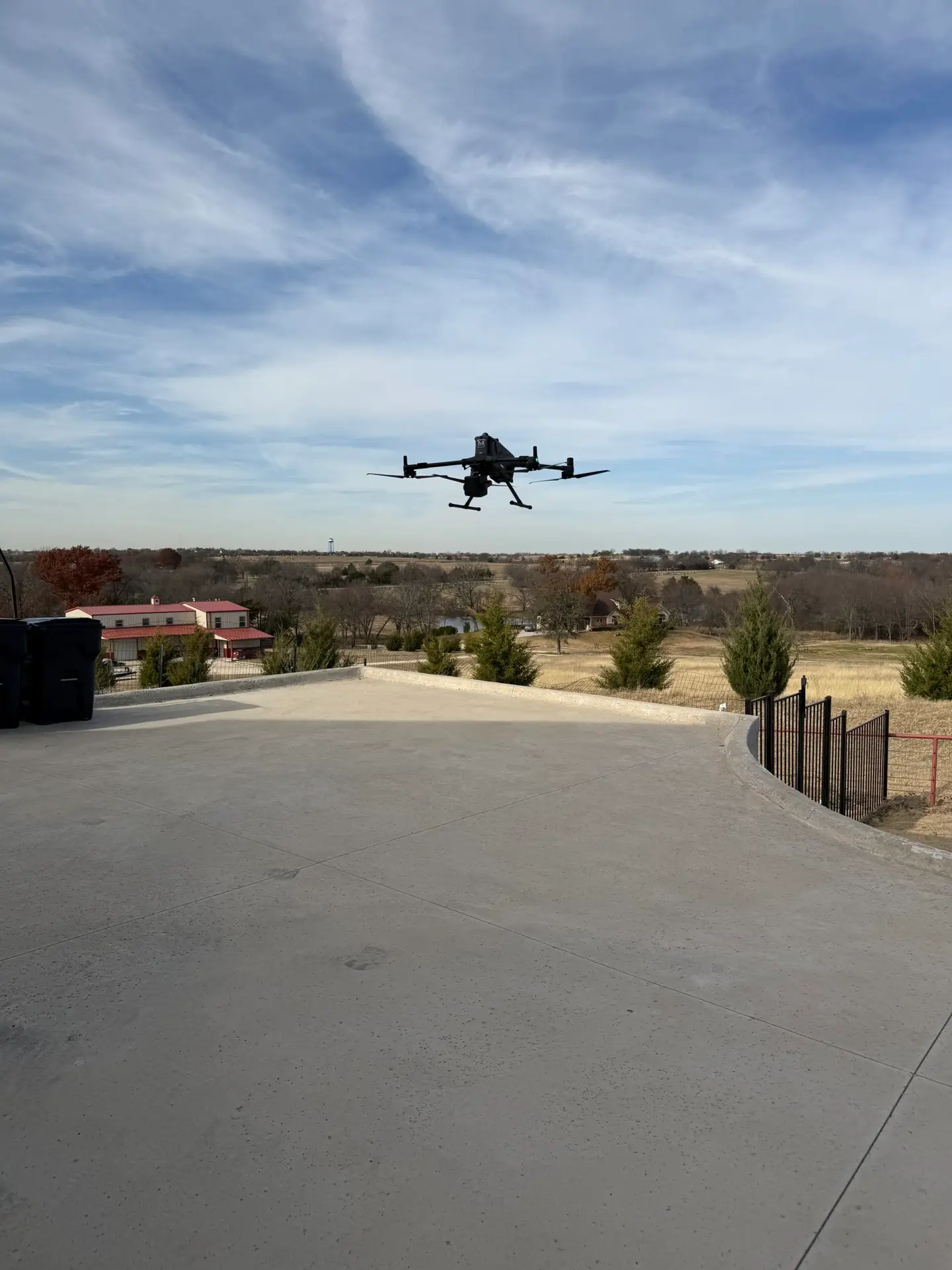
The DJI Matrice 400 (M400) is a powerful, rugged enterprise drone designed for demanding professional tasks like inspections, mapping, public safety, and energy work, offering extended flight (59 min), a 6kg payload capacity, advanced obstacle sensing (LiDAR, mmWave radar), robust IP55 weatherproofing, and long-range O4 transmission, enabling it to carry multiple sensors (like H30T, L3) and operate in harsh conditions for comprehensive data collection and real-time situational awareness.
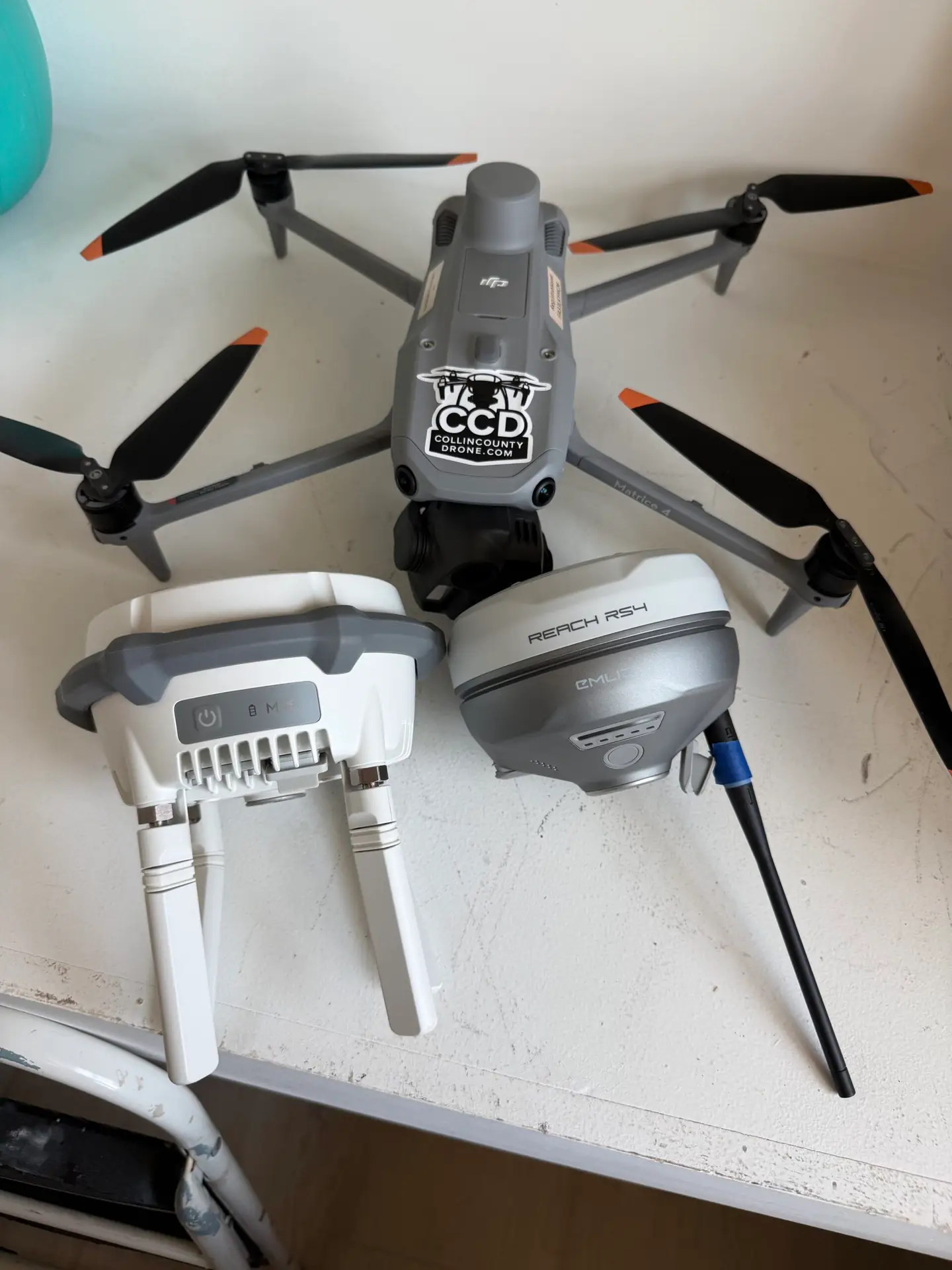
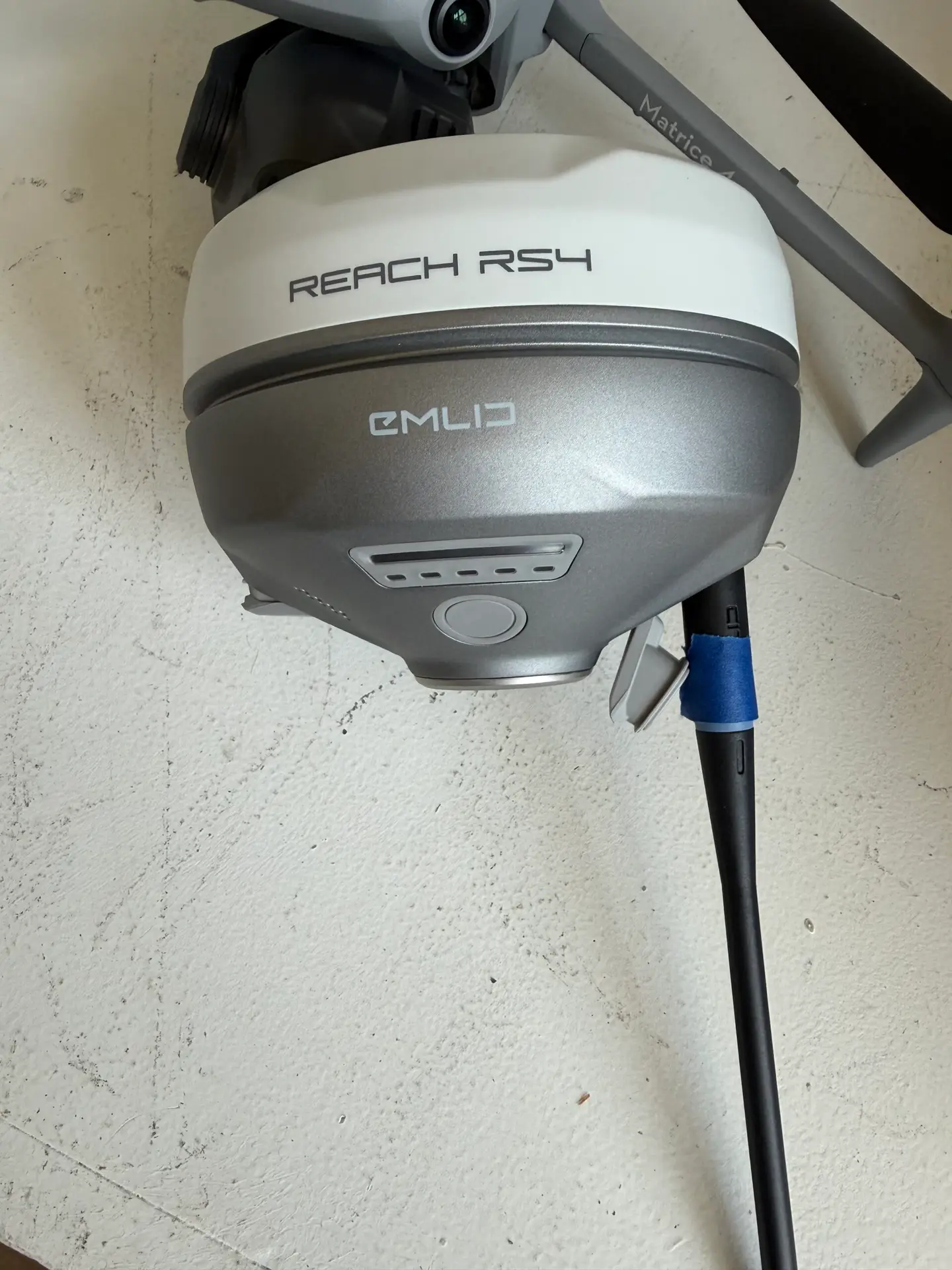
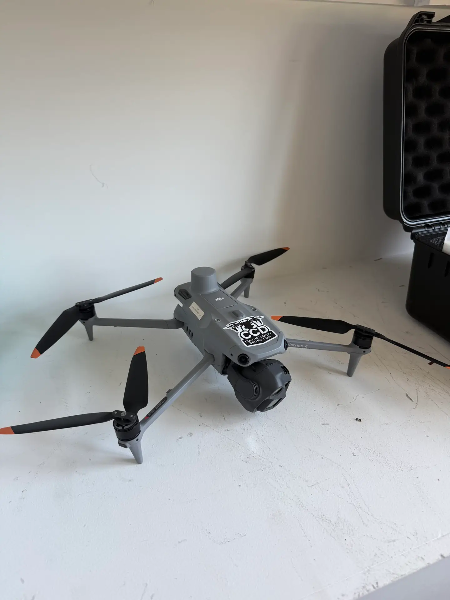
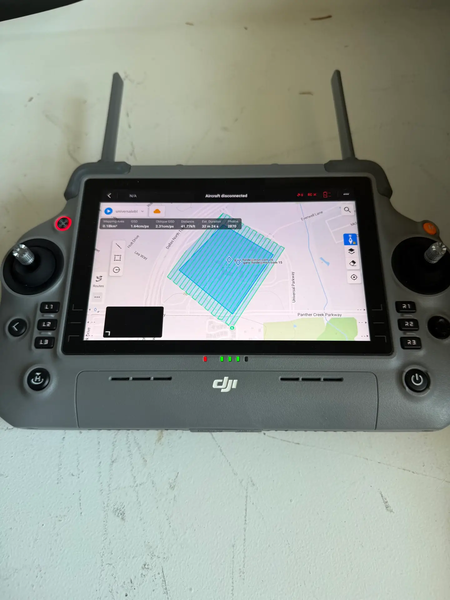
The DJI Matrice 4E is a high-end, compact enterprise drone designed for advanced surveying, mapping, and inspection, featuring a multi-sensor payload with wide, telephoto, and medium cameras, a laser rangefinder for precise measurements, superior O4 transmission, and advanced AI for obstacle avoidance and subject tracking, making it a powerful tool for detailed geospatial data collection
The DJI Zenmuse L3 is DJI's most advanced aerial LiDAR sensor, a high-precision, long-range system for enterprise drones like the M400, combining a 1535nm LiDAR module with dual 100MP RGB cameras and an advanced Position & Orientation System (POS) to create incredibly detailed 3D point clouds, allowing users to map terrain, vegetation (even under canopies), and structures with superior accuracy and penetration compared to previous models
The DJI Zenmuse H30T is a high-end, all-weather, multi-sensor aerial camera payload for enterprise drones that integrates five sensors: wide-angle, powerful zoom, infrared thermal, laser rangefinder, and NIR auxiliary light, offering advanced imaging for public safety, energy, and inspection, enabling clear day/night operations with superior thermal detection and precise long-range measurement for complex missions
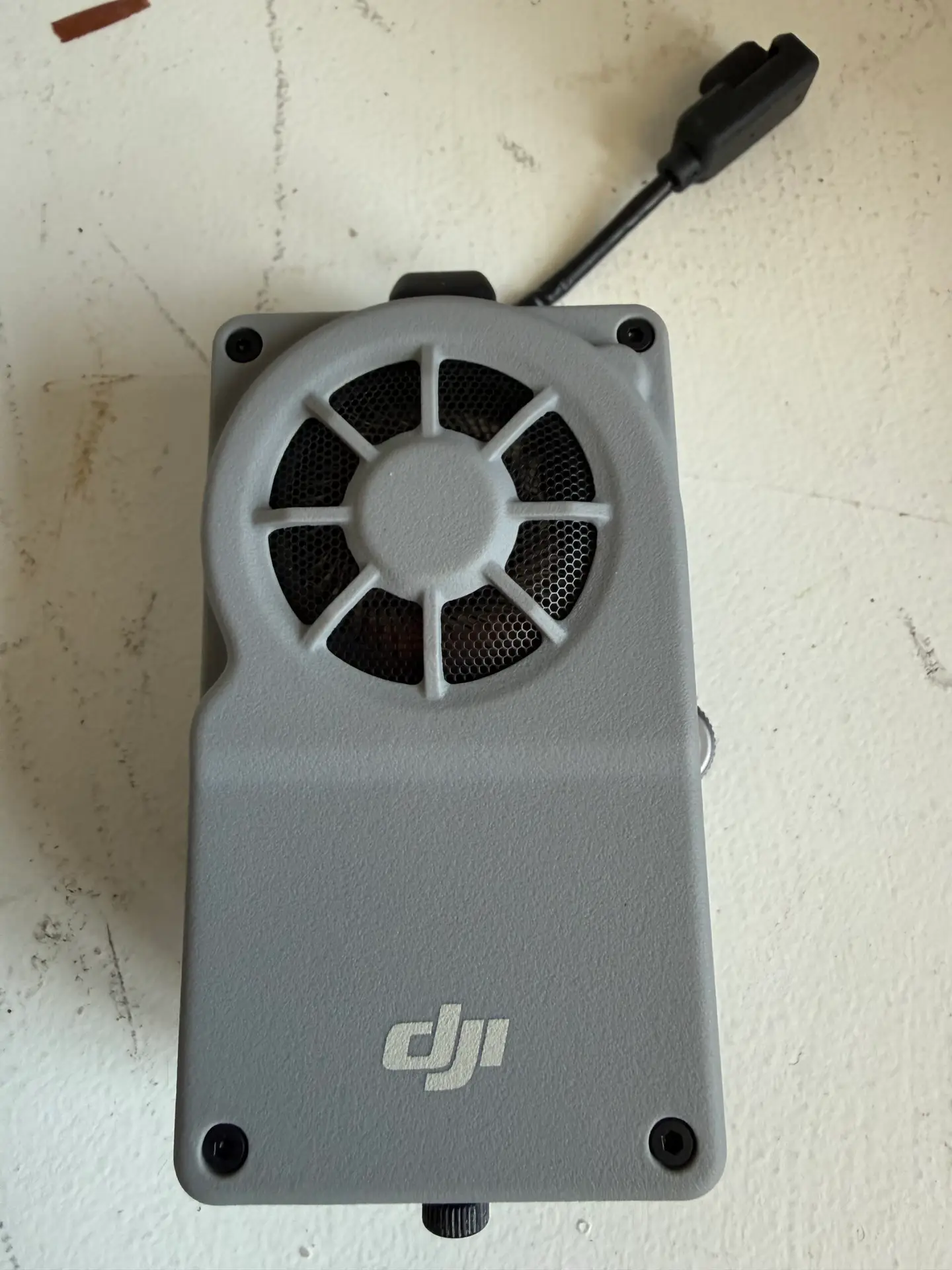
The DJI Manifold 3 is a powerful, compact onboard computer for DJI enterprise drones Matrice 400 and Matrice 4E that provides significant AI processing (up to 100 TOPS) to enable autonomous, intelligent flight and real-time data analysis, letting developers run advanced apps for tasks like rapid mapping, precise inspection, and complex sensor data processing directly on the drone. It acts as an "intelligent brain" upgrade, offloading intensive computation from ground stations for faster, more efficient edge AI applications